Communication
EPOS TCS Flyer SATELLITE 2025
March 2025
Document info
Synthesis
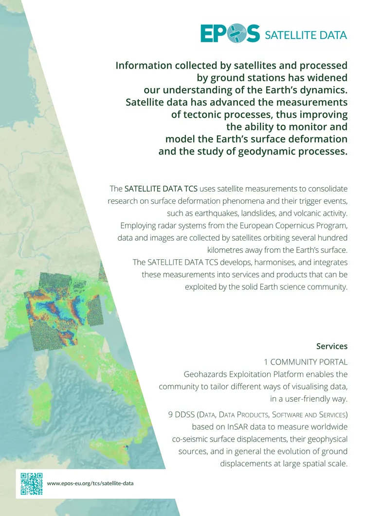
from AIEPOS SATELLITE Data TCS Flyer 2025 highlights the role of satellite data in advancing Earth science. The SATELLITE DATA TCS leverages radar systems from the European Copernicus Program to monitor surface deformation caused by geodynamic processes such as earthquakes, landslides, and volcanic activity. By harmonizing and integrating satellite measurements, it provides essential services like the Geohazards Exploitation Platform and 9 DDSS products based on InSAR data. These tools enable the solid Earth science community to better understand and model Earth’s dynamics. The initiative fosters collaboration among national and international space agencies, including ESA, within the EPOS framework to address pressing societal challenges related to geo-hazards.
Key points
from AI- 01
SATELLITE DATA TCS uses satellite radar data from the Copernicus Program to study Earth’s surface deformation and geodynamic processes
- 02
Provides 9 DDSS products and the Geohazards Exploitation Platform for user-friendly data visualization and analysis
- 03
Facilitates collaboration between space agencies (e.g., ESA) and the EPOS community to improve understanding of geo-hazards
- 04
Aims to answer societal questions about earthquakes, volcanic eruptions, landslides, and their environmental impacts
Key words
Key prompts
Related materials