Communication
EPOS TCS Flyer GNSS 2025
March 2025
Document info
Synthesis
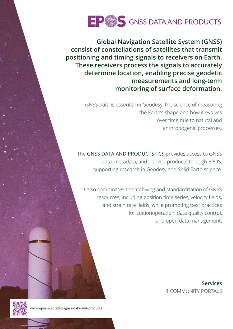
from AIEPOS TCS GNSS provides centralized access to GNSS data, metadata, and derived products for geodetic and solid Earth science research. It standardizes and archives GNSS resources, including position time series, velocity fields, and strain rate fields, while promoting open data practices and best practices for station operation and data quality control.
The initiative collaborates with EUREF and national/regional GNSS networks to ensure interoperability and supports multidisciplinary research by integrating GNSS data with other EPOS Thematic Core Services (TCS). By facilitating long-term monitoring of Earth’s surface motion—from seismic events to tectonic shifts—it addresses critical societal challenges related to geo-hazards and environmental dynamics.
Key points
from AI- 01
GNSS data and products are standardized and archived for long-term access and research in geodesy and solid Earth science
- 02
The TCS coordinates with EUREF and regional networks to ensure data interoperability and best practices
- 03
Services support multidisciplinary research by integrating GNSS data with other EPOS TCS datasets
- 04
Focus areas include monitoring surface deformation from earthquakes to tectonic plate movements
- 05
Open data management and quality control are promoted for reliable geodetic measurements
Key words
Key prompts
Related materials