Communication
EPOS TCS Flyer GIM 2025
March 2025
Document info
Synthesis
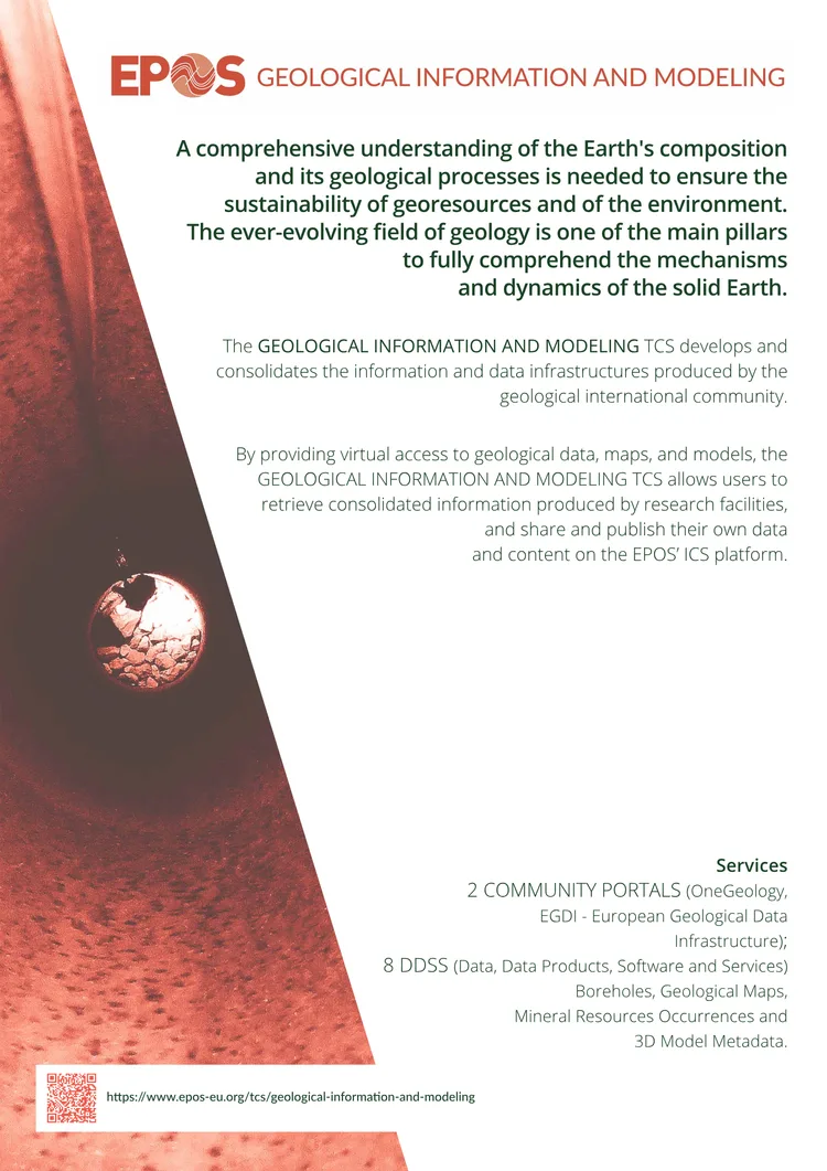
from AIEPOS TCS Flyer GIM 2025 introduces the GEOLOGICAL INFORMATION AND MODELING TCS, a key component of the European Plate Observing System (EPOS).
The flyer highlights the TCS’s role in developing and consolidating geological data infrastructures, enabling virtual access to geological maps, models, and research outputs. It emphasizes the importance of integrated research infrastructures to address societal challenges like geo-hazards and georesource management.
EPOS is presented as a multidisciplinary, distributed research infrastructure that ensures long-term access to solid Earth science data, fostering collaboration within the geological community.
Key points
from AI- 01
EPOS TCS provides virtual access to geological data, maps, and models via its ICS platform, supporting research and data sharing.
- 02
The GEOLOGICAL INFORMATION AND MODELING TCS consolidates infrastructures like OneGeology and EGDI to enhance geological data accessibility.
- 03
EPOS aims to address societal challenges such as geo-hazards and sustainable georesource management through integrated research infrastructures.
- 04
The flyer underscores the importance of long-term access to solid Earth science data for scientific and societal progress.
Key words
Key prompts
- What services does the GEOLOGICAL INFORMATION AND MODELING TCS provide?
- How does EPOS support sustainable georesource management?
- Which platforms are part of the GEOLOGICAL INFORMATION AND MODELING TCS?
- What role does EPOS play in addressing geo-hazards?
- How can researchers share their geological data through EPOS?
Related materials