Technical
EPOS TCS 15 2022 GIM
April 2022
Document info
Synthesis
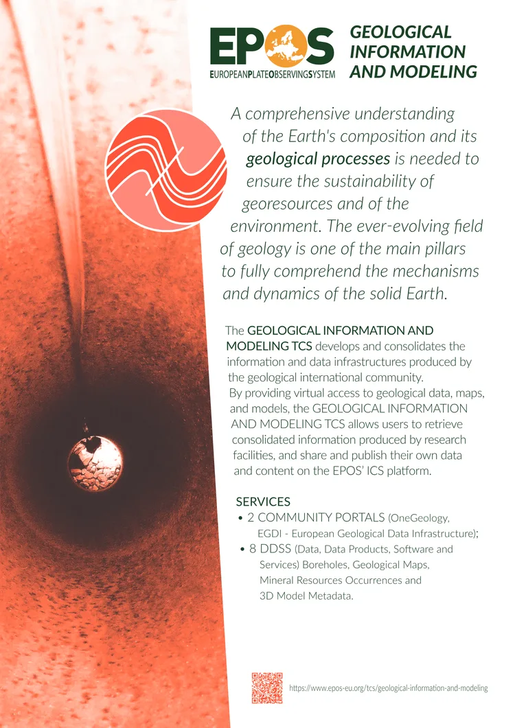
from AIEPOS TCS 15: Geological Information and Modeling focuses on advancing the understanding of Earth’s composition and geological processes to support sustainable georesource management and environmental protection.
The initiative consolidates geological data infrastructures, providing virtual access to geological maps, models, and research outputs via the EPOS Integrated Core Services (ICS) platform. It enables users to retrieve, share, and publish data, fostering collaboration within the geological community.
By integrating geological data with broader solid Earth science datasets, EPOS addresses critical societal challenges, including geo-hazard monitoring and georesource management, through a multidisciplinary research infrastructure.
Key points
from AI- 01
EPOS TCS 15 consolidates geological data infrastructures for sustainable georesource and environmental management
- 02
Provides virtual access to geological data, maps, and models via the EPOS ICS platform
- 03
Includes 2 community portals (OneGeology, EGDI) and 8 DDSS (e.g., boreholes, mineral resources)
- 04
Supports integrated research to address geo-hazards and geodynamic phenomena
- 05
Facilitates long-term access to solid Earth science data and services across Europe
Key words
Key prompts
- What are the main services provided by EPOS TCS 15?
- How does EPOS TCS 15 support sustainable georesource management?
- Which community portals are included in EPOS TCS 15?
- What types of geological data are accessible through the EPOS ICS platform?
- How does EPOS TCS 15 contribute to addressing geo-hazards?
Related materials