Communication
2025 EPOS TCS FLYER GIM 2025 ready-cut
March 2025
Document info
Synthesis
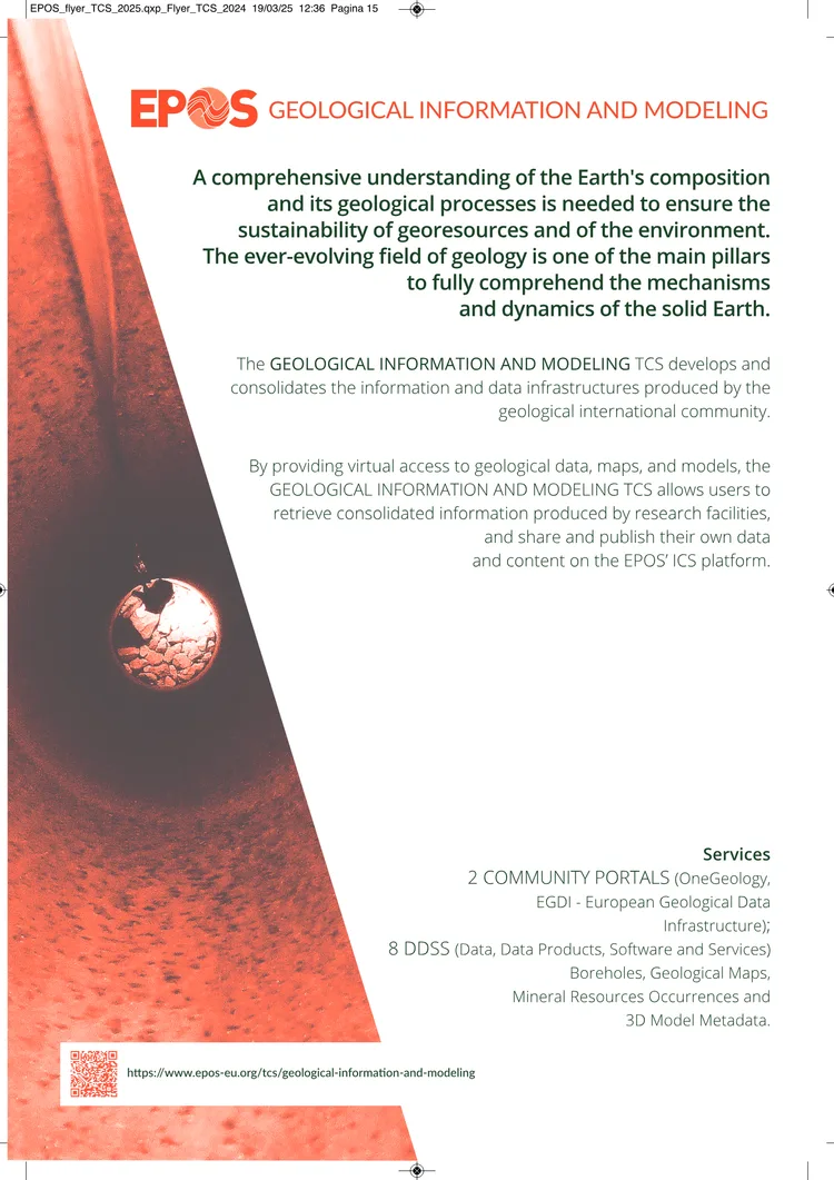
from AIEPOS Geological Information and Modeling (TCS) enhances sustainability efforts by consolidating geological data infrastructures. It provides virtual access to geological maps, models, and research data via the EPOS ICS platform, enabling users to share and publish their findings. The TCS supports 8 Data, Data Products, Software and Services (DDSS) including boreholes, mineral resources, and 3D model metadata.
By integrating solid Earth science data, EPOS addresses critical societal challenges such as geo-hazards monitoring and georesource management.** The infrastructure fosters collaboration among geological researchers, ensuring long-term access to data and services for sustainable environmental solutions.
Key points
from AI- 01
EPOS TCS provides virtual access to geological data, maps, and models via the EPOS ICS platform for sharing and publishing research outputs
- 02
The TCS supports 8 DDSS including boreholes, geological maps, mineral resources, and 3D model metadata
- 03
EPOS integrates solid Earth science data to address geo-hazards monitoring and georesource management
- 04
EPOS is a multidisciplinary research infrastructure facilitating long-term access to Solid Earth science data and services
- 05
The infrastructure aims to answer pressing societal questions related to environment and human welfare
Key words
Key prompts
Related materials