Communication
2024 EPOS TCS Flyer SAT
April 2024
Document info
Synthesis
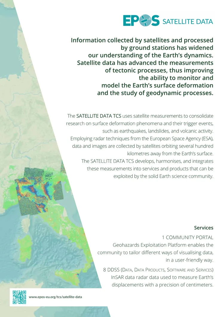
from AISatellite data plays a transformative role in understanding Earth’s dynamics by enabling precise measurements of tectonic processes. The SATELLITE DATA TCS within EPOS leverages radar techniques from the European Space Agency (ESA) to collect and process data on surface deformation, including phenomena like earthquakes, landslides, and volcanic activity.
This initiative harmonizes and integrates satellite measurements into accessible services and products for the solid Earth science community. Key offerings include the Community Portal and Geohazards Exploitation Platform, which provide user-friendly tools for data visualization and analysis. By fostering collaboration among national and international space agencies, the TCS enhances the scientific community’s ability to study high-impact geodynamic events and their societal implications.
Key points
from AI- 01
Uses satellite radar data (e.g., InSAR) to measure Earth’s surface deformation with centimeter precision
- 02
Develops and integrates services like the Community Portal and Geohazards Exploitation Platform for data visualization
- 03
Coordinates with agencies like ESA to provide a collaborative framework for solid Earth science research
- 04
Focuses on high-impact events such as earthquakes, volcanic eruptions, and landslides
- 05
Supports EPOS’s mission to integrate and provide long-term access to Solid Earth science data
Key words
Key prompts
- What radar techniques does the SATELLITE DATA TCS use to measure Earth's deformation?
- Which platforms does the TCS provide for visualizing satellite data?
- How does the TCS collaborate with the European Space Agency (ESA)?
- What types of geohazards does the TCS focus on studying?
- What is the role of the Community Portal in the TCS services?
Related materials