Communication
2024 EPOS TCS Flyer GNSS ready-cut
April 2024
Document info
Synthesis
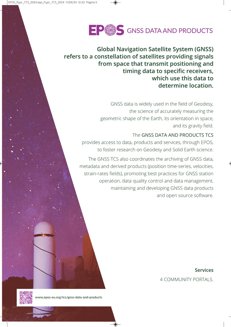
from AIThe 2024 EPOS GNSS Data and Products Thematic Core Service (TCS) Flyer introduces the role of Global Navigation Satellite System (GNSS) in geodesy, enabling precise measurements of Earth's shape, orientation, and gravity field. The GNSS TCS, part of the European Plate Observing System (EPOS), provides open access to European and regional GNSS data, metadata, products, and software. It collaborates with organizations like EUREF and national networks to support research on Earth surface motion, from rapid seismic activity to slow tectonic shifts. By integrating GNSS data with other EPOS services, the TCS enables multidisciplinary research across Europe and globally, addressing societal challenges related to geo-hazards and geodynamic phenomena.
Key points
from AI- 01
GNSS enables precise positioning and timing data for geodetic measurements of Earth's shape, orientation, and gravity field
- 02
EPOS GNSS TCS provides open access to European GNSS data, metadata, products, and software for solid Earth science research
- 03
The TCS collaborates with EUREF and national networks to study Earth surface motion across different timescales
- 04
EPOS integrates GNSS data with other services to support multidisciplinary research on geo-hazards and geodynamic phenomena
- 05
Services include data archiving, quality control, and open-source software development for GNSS station operations
Key words
Key prompts
Related materials